*As of Aug 12, 5 PM local time.*
Current Conditions and Immediate Heat Risk
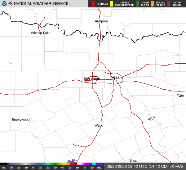
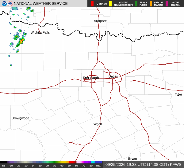
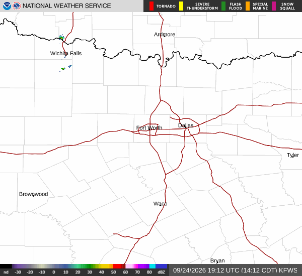
Dangerous heat is currently gripping Sherman, TX, as the sun beats down on clear skies. Right now, the air temperature stands at a sweltering 100F, but the combination of heat and humidity makes it feel like 106F. The relative humidity is at 35%, with a dew point of 68F contributing to the muggy atmosphere.
Winds are blowing from the south southwest at 14 mph, with gusts reaching up to 17 mph.
This level of heat stress requires caution. Residents should stay hydrated and limit midday exertion to avoid heat-related illnesses. The National Weather Service has not issued any active warnings, watches, or advisories for this area, but the extreme heat index values serve as a natural alert for everyone to take precautions.
Forecast for Today and Tomorrow
The intense heat is expected to continue through today. Highs will reach near 101F, with heat index values climbing as high as 109. The sky will remain sunny throughout the day. South southwest winds will persist at 10 to 15 mph. There is no chance of precipitation today.
Tonight, conditions will clear up, but the heat will linger. Lows will drop to around 80F, though temperatures may rise slightly to around 82F overnight. Heat index values will remain elevated at up to 107. Winds will shift to the south, maintaining speeds of 10 to 15 mph with gusts as high as 25 mph.
Tomorrow brings another day of sunny skies and high temperatures near 101F. The heat index is forecast to reach 106. South southwest winds will continue around 15 mph, with gusts potentially hitting 25 mph.