*As of Sep 30, 2 PM local time.*
Current Conditions and Immediate Outlook
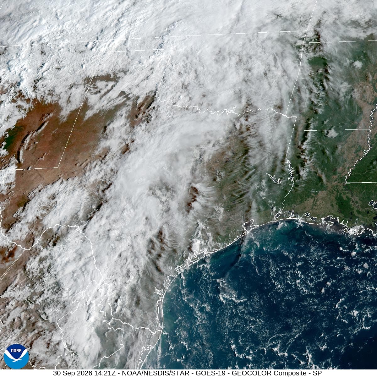
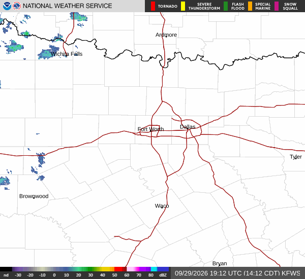
A severe flood watch is currently active for the Sherman area, signaling the potential for significant flooding due to heavy rainfall. As of this afternoon, the air temperature stands at 88 degrees Fahrenheit, though it feels like 93 degrees due to the humidity. The relative humidity is 55 percent, with a dew point of 70 degrees Fahrenheit, creating a muggy atmosphere.
Winds are blowing from the south at 16 miles per hour, with gusts reaching 24 miles per hour. The sky remains cloudy, and residents should be prepared for isolated rain showers before 4 p.m., followed by scattered showers and thunderstorms. The high temperature is expected to reach near 93 degrees, with heat index values potentially climbing to 99 degrees.
There is a 35 percent chance of precipitation, with new rainfall amounts between a quarter and half of an inch possible.
Tonight and Tomorrow
Conditions will remain unsettled tonight, with scattered showers and thunderstorms expected before 10 p.m., transitioning into more widespread showers and thunderstorms. The low temperature will be around 72 degrees, though temperatures may rise to 74 degrees overnight. The chance of precipitation is high at 90 percent, with new rainfall amounts between one and two inches possible.
Winds will shift to 10 to 15 miles per hour, with gusts up to 25 miles per hour. Tomorrow will bring continued showers and thunderstorms under cloudy skies. The high temperature will drop significantly to near 79 degrees, with temperatures falling to around 77 degrees in the afternoon.