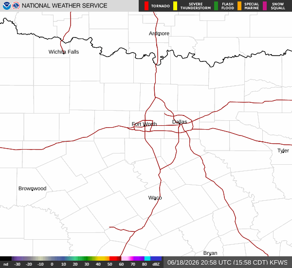
Current Conditions and Alert Status
Residents in Sherman, TX, are currently under an active Heat Advisory issued by the National Weather Service. The advisory carries a moderate severity level and is expected to remain in effect through the evening. Right now, the air temperature stands at 88F, but the oppressive humidity makes it feel like 98F. The relative humidity is at 66%, with a dew point of 75F, creating a muggy atmosphere. Winds are blowing from the east at 13 mph, with gusts reaching 17 mph. Overhead, the sky is filled with thunderstorms.
Forecast for Today and Tonight
Despite the current storm activity, the official forecast indicates that today will be sunny with a high near 93F. Temperatures are expected to fall slightly to around 91F in the afternoon. The heat index will reach as high as 102F. Winds will shift to the east at around 10 mph. The chance of precipitation for the day is listed at just 1%.
As evening approaches, conditions will change. Tonight will be mostly cloudy with a low around 73F. A chance of showers and thunderstorms is expected between 10pm and 1am, followed by showers and thunderstorms likely later in the night. The heat index will remain high at 102F. Winds will decrease to the northeast at 5 to 10 mph. The chance of precipitation rises to 60%, with new rainfall amounts between a half and three quarters of an inch possible.
Outlook for Tomorrow
Tomorrow, the weather will turn wetter and cooler. Showers and thunderstorms are likely before 1pm, followed by a chance of showers and thunderstorms later. The sky will remain mostly cloudy with a high near 84F. Winds will be from the east northeast at 5 to 10 mph. The chance of precipitation is 70%, with new rainfall amounts between 1 and 2 inches possible. Temperatures will drop to a low of 72F tomorrow night, with a chance of showers and thunderstorms and a 50% chance of precipitation. New rainfall amounts between a quarter and half of an inch are possible overnight.