Sherman

Sherman.city — Texoma growth, community, and neighborhood stories.

Back to Weather

5-day forecast / Sherman, TX

ThursdaySunny then Slight Chance Showers And Thunderstorms106° / 81° 18%
FridaySunny then Slight Chance Showers And Thunderstorms105° / 81° 22%
SaturdaySunny105° / 79° 10%
SundaySunny104° / 80° 2%
MondaySunny104° / 81° 5%

Sherman Under Extreme Heat Warning as Temperatures Approach 106 Degrees - Aug 20, 6 AM

Sherman skies, every four hours — clear, local, and weather you can trust.

Sherman is under an Extreme Heat Warning with current conditions at 84F and a high near 106F expected. Residents should stay hydrated and limit midday exertion.

Carmen Solis

August 20, 20262 min read

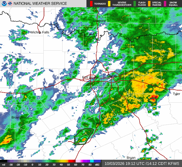
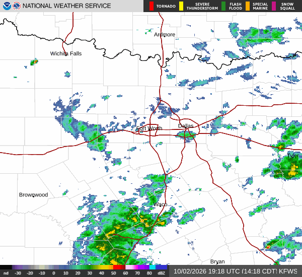
National Weather Service radar for North Texas (KFWS)

*As of Aug 20, 6 AM local time.*

Severe Heat Alert in Effect

Sherman is currently under an Extreme Heat Warning issued by the National Weather Service. This severe alert remains in effect until this evening. The combination of high temperatures and humidity is creating dangerous conditions for outdoor activities.

As of this morning, the air temperature is 84F, but it feels like 87F due to the humidity. The relative humidity stands at 56%, with a dew point of 67F. Winds are blowing from the south southwest at 11 mph, with gusts reaching 17 mph.

The sky is currently clear, offering no immediate relief from the rising heat.

Today's Forecast and Conditions

Residents should expect a sunny day with a high near 106F. The heat index values may reach as high as 109F, making the perceived temperature significantly higher than the actual air temperature. There is a slight chance of showers and thunderstorms after 4pm, with a precipitation probability of 18%.

Winds will shift to 5 to 10 mph from the south southwest. Tonight, conditions will remain warm with a low around 81F, though temperatures may rise to 83F overnight. The sky will be partly cloudy, and a slight chance of storms exists before 10pm.

The heat index could reach 108F tonight.
Tomorrow's Outlook and Safety

Tomorrow will bring similar conditions, with a high near 105F and a low around 81F. The heat index is expected to peak at 111F, indicating extreme danger for prolonged outdoor exposure. A slight chance of showers and thunderstorms is possible after 1pm, with a 22% chance of precipitation.

Winds will be light at around 5 mph from the south southwest. Given the sustained high temperatures and high heat index values, it is crucial to stay hydrated and limit physical exertion during the hottest parts of the day. Check on neighbors and vulnerable individuals who may not have access to air conditioning.

Avoid leaving pets or children in parked vehicles, as temperatures can rise rapidly in enclosed spaces.

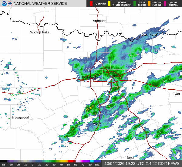
National Weather Service radar for North Texas (KFWS)

Sources

https://radar.weather.gov

https://api.weather.gov

https://open-meteo.com

Share

Carmen Solis

Carmen Solis covers weather, the environment, and outdoor life around Sherman.

Related Stories

More in Sport