Sherman

Sherman.city — Texoma growth, community, and neighborhood stories.

Back to Weather

5-day forecast / Sherman, TX

SaturdayMostly Sunny100° / 78° 3%
SundaySunny101° / 78° 5%
MondaySunny101° / 78° 5%
TuesdaySunny101° / 78° 1%
WednesdaySunny101° / 78° 3%

Sherman Heat Advisory: Highs Near 100F, Feels Like 100F - Sep 5, 2 PM

Sherman skies, every four hours — clear, local, and weather you can trust.

A Heat Advisory is active for Sherman. Current air temperature is 95F with a heat index of 100F. Highs near 100F today and 101F tomorrow with low rain chances.

Carmen Solis

September 5, 20262 min read

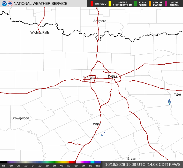
National Weather Service radar for North Texas (KFWS)

*As of Sep 5, 2 PM local time.*

Current Conditions and Alert Status

A Heat Advisory is currently active for the Sherman area, issued by the National Weather Service. This moderate-severity alert is expected to remain in effect until tomorrow evening. Residents should be aware that dangerous heat conditions are present right now.

The current air temperature is 95F, but the heat index makes it feel like 100F. Relative humidity stands at 42%, with a dew point of 68F. Winds are light at 7 mph, with gusts reaching 8 mph, and the sky is mainly clear.

These conditions contribute to the elevated heat index values that are expected to persist through the coming days.

Today and Tonight Outlook

Today will be mostly sunny with a high near 100F. The chance of precipitation is very low at 3%. Southeast winds will blow around 5 mph.

Heat index values could reach as high as 103F during the day. Tonight, the sky will remain mostly clear. Temperatures will drop to a low near 78F, though they may rise to around 80F overnight.

South winds will be light, ranging from 0 to 5 mph. The heat index is expected to stay high, reaching values as high as 102F. The lack of significant cloud cover or rain means the heat will continue to build without relief from precipitation.
Tomorrow's Forecast and Safety

Tomorrow will be sunny with a high near 101F. The chance of precipitation is slightly higher at 5%, but rain is unlikely. East winds will be light at 0 to 5 mph.

Heat index values are forecast to reach as high as 104F, marking the peak of this heat event. Tonight after tomorrow, conditions will remain mostly clear with a low near 78F, potentially rising to 80F. South winds will be 0 to 5 mph, and heat index values may reach 101F.

Given the sustained high temperatures and high heat index values, it is important to stay hydrated and limit midday exertion. Check on neighbors and vulnerable individuals who may not have access to air conditioning. Avoid prolonged exposure to direct sunlight during the hottest parts of the day.

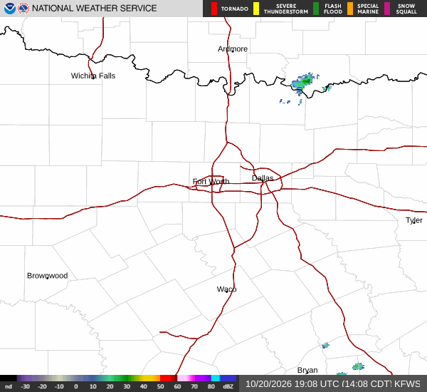
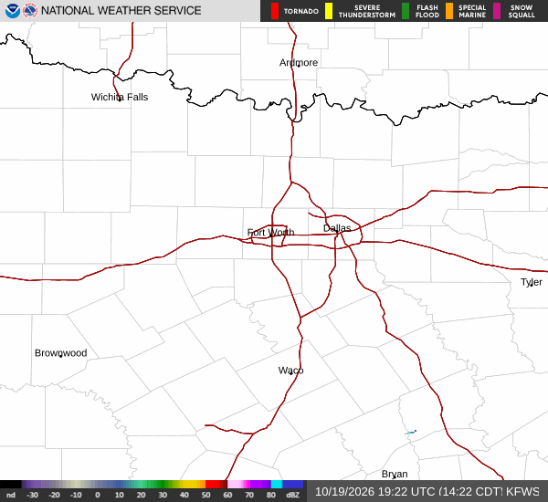
National Weather Service radar for North Texas (KFWS)

Sources

https://radar.weather.gov

https://api.weather.gov

https://open-meteo.com

Share

Carmen Solis

Carmen Solis covers weather, the environment, and outdoor life around Sherman.

Related Stories

More in Sport