As of Jun 12, 4 AM local time.
Oppressive Humidity and Overnight Storms
The air in Sherman remains thick and heavy tonight, with a dew point of 76F creating an oppressively humid atmosphere. Relative humidity sits at 88%, making the current air temperature of 80F feel like 85F. Winds are blowing from the south southeast at 7 mph, with gusts reaching up to 21 mph, while the sky remains mostly cloudy.
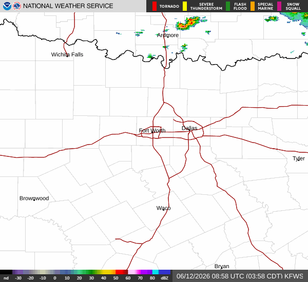
Rain is expected to move through the area during the early morning hours. There is a chance for showers and thunderstorms before 4am, after which they will become likely. Residents should anticipate new rainfall amounts between a quarter and half of an inch.
As the night progresses, skies will begin to clear to partly cloudy conditions. Temperatures will settle near a low of 76F, though they may rise slightly to around 78F later in the overnight period. Winds will ease to around 5 mph from the south southeast.
Hot and Sunny Conditions Ahead
Tomorrow brings a significant shift in weather patterns. The chance of precipitation drops to just 4%, allowing for mostly sunny skies to dominate the day. Highs will climb near 91F, creating dangerously hot conditions. Heat index values are expected to reach as high as 101F, indicating that the combination of heat and humidity will make it feel much hotter than the actual air temperature.
Winds will shift to the south southwest, blowing between 5 and 10 mph with gusts as high as 20 mph. Lows will return to near 76F. While there is a chance of showers and thunderstorms between 1am and 4am tomorrow night, the primary focus for residents should be on the intense heat during the day.


