Sherman

Sherman.city — Texoma growth, community, and neighborhood stories.

Local business? Support local news on Sherman.city

Back to Weather

5-day forecast / Sherman, TX

TuesdaySunny81° / 62° 3%
WednesdaySunny82° / 65° 3%
ThursdayPartly Sunny82° / 64° 5%
FridayChance Rain Showers73° / 60° 39%
SaturdayChance Showers And Thunderstorms76° / 61° 42%

Humid Heat Returns to Sherman With Afternoon Storms Possible - Jun 21, 12 PM

Sherman skies, every four hours — clear, local, and weather you can trust.

Sherman faces high humidity and heat today with a dew point of 73F. Showers and thunderstorms are likely tomorrow with potential rainfall totals.

Carmen Solis· AI-assisted, edited by Jake Team

June 21, 20262 min read

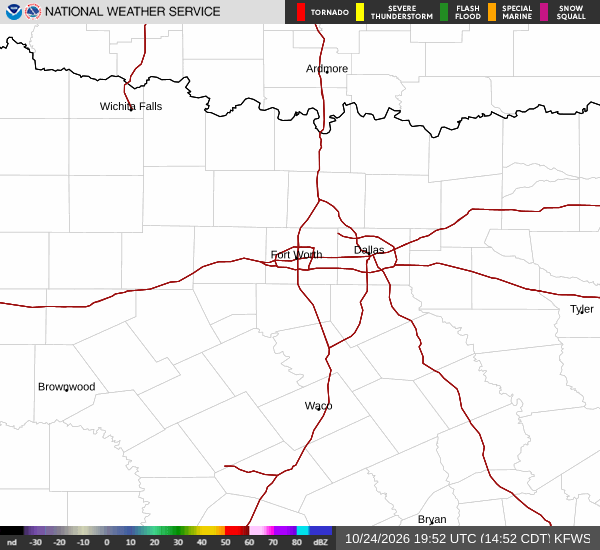
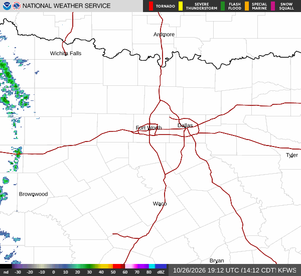
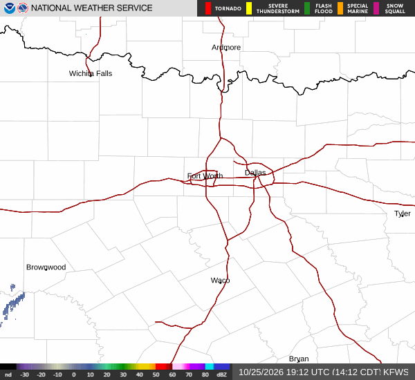
National Weather Service radar for North Texas (KFWS)

As of Jun 21, 12 PM local time.

Current Conditions and Heat Index

Sherman is experiencing quite humid conditions this afternoon, with a dew point of 73F and relative humidity at 70%. The air temperature stands at 84F, but the heat index makes it feel like 91F. Winds are blowing from the south at 11 mph, with gusts reaching up to 23 mph. The sky remains partly cloudy as the day progresses.

Today and Tonight Forecast

Temperatures will climb to a high near 91F today under mostly sunny skies. The heat index is expected to reach as high as 101. South winds will continue at 10 to 15 mph, with gusts potentially hitting 25 mph. The chance of precipitation is minimal at 1%.

As evening turns to night, conditions will shift. A chance of showers and thunderstorms develops after 1am. Skies will be partly cloudy with a low around 77F, though temperatures may rise slightly to around 79F overnight.

The heat index will remain high at 99. Winds will persist from the south at 10 to 15 mph, with gusts up to 25 mph. There is a 30% chance of precipitation, with new rainfall amounts between a tenth and quarter of an inch possible.

Tomorrow’s Storm Potential

The pattern changes significantly tomorrow. A chance of showers and thunderstorms is expected before 10am, followed by another chance between 10am and 1pm, and continuing thereafter. Skies will be partly sunny with a high near 91F, dropping to around 89F in the afternoon.
The heat index could reach 102. South winds will slow to around 10 mph, with gusts up to 20 mph. The chance of precipitation rises to 40%, with new rainfall amounts between a quarter and half of an inch possible.

Safety and Preparedness

With high humidity and heat indices exceeding 100, residents should stay hydrated and limit midday exertion. As storm chances increase tomorrow, monitor local updates for any changes in timing or intensity. Ensure outdoor activities are planned around the potential for wet conditions and reduced visibility during any thunderstorms.

National Weather Service radar for North Texas (KFWS)

Sources

National Weather Service radar

National Weather Service forecast data

Open-Meteo weather data

Advertisement

Share

Carmen Solis· AI-assisted, edited by Jake Team

Carmen Solis covers weather, the environment, and outdoor life around Sherman.

Related Stories

More in Sport