Sherman

Sherman.city — Texoma growth, community, and neighborhood stories.

Local business? Support local news on Sherman.city

Back to Weather

5-day forecast / Sherman, TX

TuesdaySunny81° / 62° 3%
WednesdaySunny82° / 65° 3%
ThursdayPartly Sunny82° / 64° 5%
FridayChance Rain Showers73° / 60° 39%
SaturdayChance Showers And Thunderstorms76° / 61° 42%

Humid Heat and Storms in Sherman Tonight and Tomorrow - Jun 22, 8 PM

Sherman skies, every four hours — clear, local, and weather you can trust.

Sherman faces oppressive humidity with a feels-like temperature of 95F. Showers and thunderstorms are likely tonight with heavy rain possible, followed by another hot day tomorrow.

Carmen Solis· AI-assisted, edited by Jake Team

June 23, 20262 min read

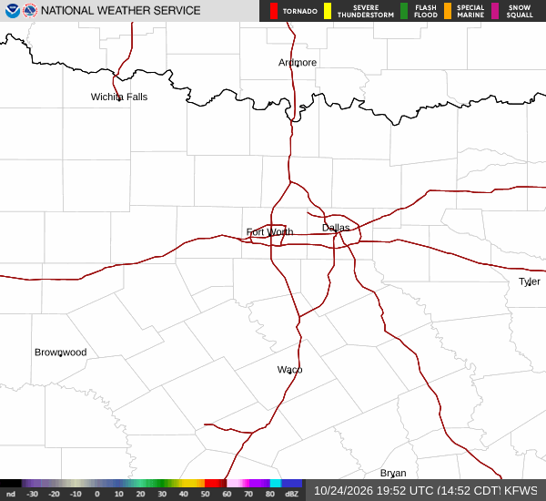
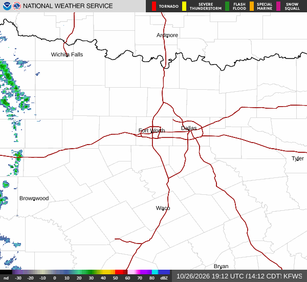
National Weather Service radar for North Texas (KFWS)

As of Jun 22, 8 PM local time.

Current Conditions and Heat Index

Sherman is currently experiencing very hot and oppressively humid conditions. The air temperature stands at 85F, but the heat index makes it feel like 95F. Relative humidity is at 78%, with a dew point of 77F, creating a muggy atmosphere. Winds are blowing from the east-southeast at 8 mph, with gusts reaching 14 mph. The sky remains clear at this moment.

Tonight's Forecast: Storms and Heavy Rain

Tonight, the heat will linger with a low near 75F. The National Weather Service indicates that showers and thunderstorms are likely before 10pm, followed by a continued chance of showers and thunderstorms later in the night. Some of these storms could produce heavy rain.

New rainfall amounts between three quarters and one inch are possible. Conditions will be mostly cloudy, with heat index values as high as 99. Winds will shift to the east-southeast at around 5 mph.

The chance of precipitation is 70%.

Tomorrow: Hotter and Stormy

Tomorrow, temperatures will rise significantly, with a high near 91F. A chance of showers and thunderstorms is expected before 1pm, with some storms potentially producing heavy rain. After the storms, skies will become mostly sunny.
Heat index values could reach as high as 101. Winds will come from the south at 5 to 10 mph. The chance of precipitation is 50%, with new rainfall amounts between 1 and 2 inches possible.

Safety Reminders

Given the high heat index values and potential for heavy rain, residents should take precautions. Stay hydrated and limit midday exertion to avoid heat-related illness. Check on neighbors, especially the elderly or those without air conditioning. If storms develop, seek shelter indoors and avoid driving through flooded roadways. No active weather alerts are currently in effect, but conditions can change rapidly with thunderstorms.

National Weather Service radar for North Texas (KFWS)

Sources

National Weather Service radar

National Weather Service forecast data

Open-Meteo weather data

Advertisement

Share

Carmen Solis· AI-assisted, edited by Jake Team

Carmen Solis covers weather, the environment, and outdoor life around Sherman.

Related Stories

More in Sport