Sherman

Sherman.city · Texoma news, growth, and community stories.

Back to Weather

5-day forecast / Sherman, TX

WednesdaySlight Chance Showers And Thunderstorms98° / 75° 20%
ThursdaySunny100° / 78° 1%
FridaySunny98° / 79°
SaturdaySunny96° / 76° 6%
SundayChance Showers And Thunderstorms94° / 76° 35%

Humidity Lingers in Sherman as Temperatures Climb Toward 100F - Jul 8, 4 AM

Sherman skies, every four hours — clear, local, and weather you can trust.

Sherman residents face high humidity with a dew point of 72F tonight. Temperatures will soar near 100F tomorrow under sunny skies, with no severe weather alerts currently active.

Carmen Solis

July 8, 20262 min read

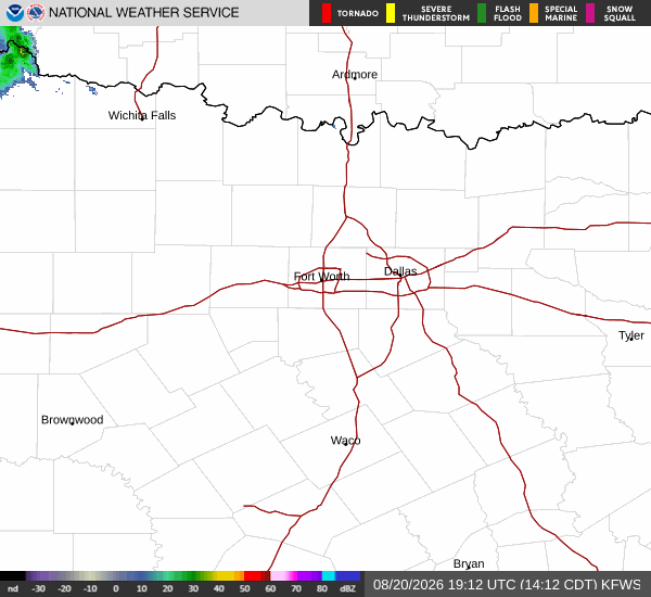
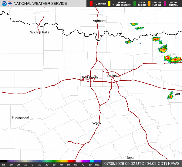
National Weather Service radar for North Texas (KFWS)

*As of Jul 8, 4 AM local time.*

Current Conditions and Humidity

It is currently Wednesday overnight in Sherman, and the air remains quite heavy with moisture. The current air temperature sits at 78F, but the heat index makes it feel like 79F. Relative humidity is holding steady at 83%, driven by a dew point of 72F. This level of humidity creates a muggy atmosphere that can feel oppressive even at moderate temperatures. Winds are light, blowing at 7 mph with gusts reaching 10 mph, while the sky remains mostly clear overhead.

Forecast for Today and Tomorrow

The heat will intensify significantly as the day progresses. Today, expect a high near 98F with a low around 75F. There is a 20% chance of precipitation, bringing a slight chance of showers and thunderstorms. The National Weather Service notes that heat index values could reach as high as 103F during the day. Winds will be from the south southwest around 5 mph.

As the sun sets tonight, conditions will remain mostly clear. A slight chance of showers and thunderstorms persists before 7pm, with the chance of precipitation at 20%. Temperatures will drop to a low around 78F, though they may rise slightly to around 80F later in the night. Heat index values are expected to hit 100F. Winds will shift to the south, increasing to 5 to 10 mph with gusts as high as 20 mph.

Tomorrow brings even more intense heat. The sky will be sunny with a high near 100F and a low near 78F. The chance of precipitation drops to just 1%. Heat index values will climb to 103F. Winds will continue from the south southwest around 10 mph, with gusts up to 20 mph. There are no active National Weather Service or NOAA weather alerts in effect for the area.
Safety Reminder

With temperatures approaching 100F and high humidity levels, the risk of heat-related illness increases. It is crucial to stay hydrated by drinking plenty of water throughout the day. Limit outdoor exertion, especially during the midday hours when the sun is strongest. Check on elderly neighbors and those who may be vulnerable to extreme heat. If you must be outside, seek shade and wear lightweight, light-colored clothing to help manage the rising heat index values.

National Weather Service radar for North Texas (KFWS)

Sources

https://radar.weather.gov

https://api.weather.gov

https://open-meteo.com

Share

Carmen Solis

Carmen Solis covers weather, the environment, and outdoor life around Sherman.

Related Stories

More in Sport