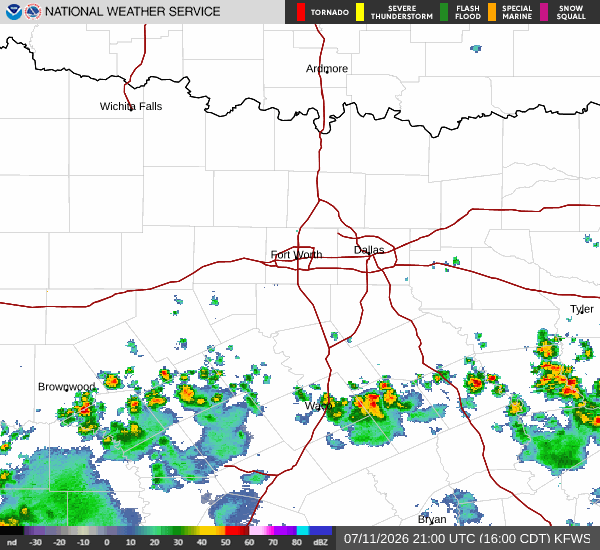
*As of Jul 11, 4 PM local time.*
Dangerous Heat and High Humidity
Sherman is currently under the influence of dangerous heat conditions. The air temperature stands at 93F, but the heat index makes it feel like 101F right now. This significant disparity is driven by high humidity levels, with the relative humidity at 50% and a dew point of 72F.
These conditions create a muggy atmosphere that can make outdoor activities feel much more strenuous than the actual air temperature suggests.
The National Weather Service forecasts that today will remain sunny with a high near 97F. During the peak heat of the day, heat index values are expected to climb as high as 103F. Winds will be light from the south, around 5 mph.
Tonight, the sky will become mostly clear, allowing temperatures to drop to a low near 77F. However, the heat will linger, with overnight heat index values reaching up to 102F. There is a slight chance of showers and thunderstorms after 4am, with a 20% chance of precipitation overall.
Storms Expected Tomorrow
Tomorrow, the weather pattern shifts with the arrival of moisture. The high will drop slightly to near 94F, but the heat index will again reach 103F. The chance of precipitation rises significantly to 50%, with showers and thunderstorms possible throughout the day. New rainfall amounts between a tenth and quarter of an inch are possible.
Tomorrow night, the activity is expected to increase. There is a chance of showers and thunderstorms before 7pm, followed by likely showers and thunderstorms between 7pm and 10pm. A chance of storms continues between 10pm and 1am.